Snow Still Falling In NCW Mountain Passes, Not Sticking
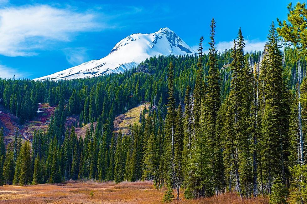
The calendar is approaching late June, but there's still been snow in recent days at higher elevations in North Central Washington and the state.
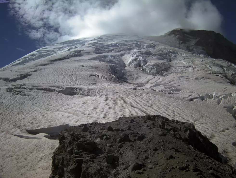
Stevens Pass received snow showers over the passed weekend and as recently as Monday night while Mt. Rainier has also gotten a light dusting.
Meteorologist Jeremy Wolf with the National Weather Service says the impact has been minimal.
"There has been some light coatings of snow up in the mountains from time to time, but the amounts have not been real substantial," said Wolf. "But there has been some accumulation of snow, some light amounts."
Wolf says June snowfall in the Washington Cascades is not unusual, although it doesn't occur every year. He says the pattern is not out of the ordinary.
"It would definitely be more unusual if it were more into July," Wolf said. "But June, occasionally we do have a cold, below pressure system that will lower the region, and it can snow down to the mountain pass levels, the higher passes."
The weather across the region will quickly warm up heading to the weekend.
Temperatures will likely rise above normal into the 90s over the next 10 days.
Wildfire danger still be limited at that point until the land becomes more dried out. Human caused brush fires will be possible, but will be less likely to rapidly spread.


