New Study Shows Washington Volcanoes Intertwined
Volcanic arcs, which are a belt of volcanoes formed above a subducting oceanic tectonic plate with the belt arranged in an arc shape, consist of many distinct vents that are ultimately fueled by the common melting processes in the subduction zone mantle.
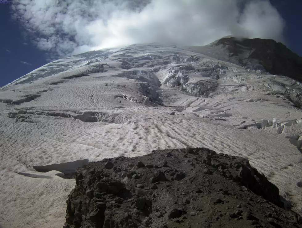
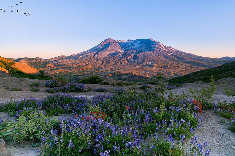
A recent study published in the AGU Journal investigated the crustal-scale structure beneath a section of the Cascades arc, which spans four major stratovolcanoes: Mt. Hood, Mt. St. Helens, Mt. Adams, and Mt. Rainier, based on ambient noise data from 234 seismographs.
What the scientists found not only confirmed what was originally suspected, that the Cascade arc volcanoes are connected, but showed that those connections are far more substantial than first thought.
Using a technique called radial seismic anisotropy (a way to see if a physical structure has a different value when measured in different directions), showed two sub-parallel low-velocity zones (the the boundary between the lithosphere and the asthenosphere in the upper mantle) which connect the volcanoes. One connecting Mt. Rainier to Mt. Adams, and another connecting Mt. Saint Helens to Mt. Hood. Researchers interpreted these low-velocity zones as deep crustal magma reservoirs.

The red triangles in the graphic above show the major Cascade arc volcanoes, including Glacier Peak, Mount Rainer, Mount St. Helens, Mount Adams, Mount Hood, and Mount Jefferson. The blue lines show the boundaries of the Cascade Volcanic Arcs. White lines show the 50, 100, and 150 km contours of the Juan de Fuca slab depth.

The models created show large velocity variations across the study area, and throughout the crustal depth range (Figure 2 above), which are well beyond the associated uncertainties. Map views of the 3D isotropic and anisotropic model plotted at four selected depths of 5, 10, 20, and 30 km, respectively. The four red-filled triangles show the four major volcanoes in the region. White triangles in panel (b) denote the seismic stations in the target area. The black dashed lines in panel (e) denote the locations of the cross-section locations, and the black dashed lines in panel (e) denote the locations of the cross-section locations.
This model shows that the upper crustal structure varies among the four major volcanoes. In the shallow crust beneath Mt. Saint Helens is greater than the average in the study area, but at depths between 10 and 15 km, a small area of near-neutral velocity anomaly emerges (Figures 2a and 2b). The near-neutral velocity extends down to ∼20 km depth, where concentrated velocity reductions start to develop (Figures 2c and 2d). Beneath Mt. Rainier is about ∼4% faster than the average at 5 km depth and transitions to near neutral by 10 km depth (Figures 2a and 2b). In contrast, beneath Mt. Adams and Mt. Hood anomalies of −3 to −6% are found a bit offset to the east but throughout the uppermost 10 km (Figures 2a and 2b).
In the mid-lower crust (∼15–30 km), the most prominent result is that two elongated low-velocity zones underlie the arc and span the distance between major stratovolcanoes.
Another interesting feature in the isotropic model is the considerably low velocities (3.2–3.3 km/s) in the lowermost crust of the northern forearc region (Figure 2d), which is also associated with large uncertainties compared to the surrounding areas.
The presence of two sub-parallel mid-lower crustal magma reservoirs of that are staggered in their east-west positions may help explain why Mt. Saint Helens and Mt. Adams are present at the same position. Mt. Saint Helens lies at the northern end of the southern deep crustal magma reservoir segment, while Mt. Adams lies at the southern end of the northern magma reservoir segment. Thus, the results suggest that deep crustal magma reservoirs, or hot zones, influence the positions of major arc volcanoes, but a given reservoir may fuel multiple stratovolcanoes with horizontal positions that are offset from the center of the reservoir.
The research also shows two low velocity zones in the mid-lower crust of the region. The northern branch is near the previously identified Southern Washington Cascades Conductor beneath the three volcanoes of Mt. Rainier, Mt. Adams, and Mt.Saint Helens. Multiple magnetotelluric studies interpret a conductivity anomaly here as the signal of a complex of subducted sedimentary rocks.
So, what does all of this mean?
This study implies that if a serious disruption should occur to the system (the "Big one" earthquake, or some other form of massive disruption of the entire system) multiple volcanoes could erupt across the Cascadia Subduction Zone. If this were the case, the west-side and south central parts of Washington would be very bad places to live.
To read the full study, just click here.
Have You Ever Thought About Never Paying Taxes Again?
Gallery Credit: JD Knight
More From 610 KONA