

Washington State Winter Storm Watch – How Much New Snow?
Updated: New Washington State Winter Storm Watch Goes Into Effect
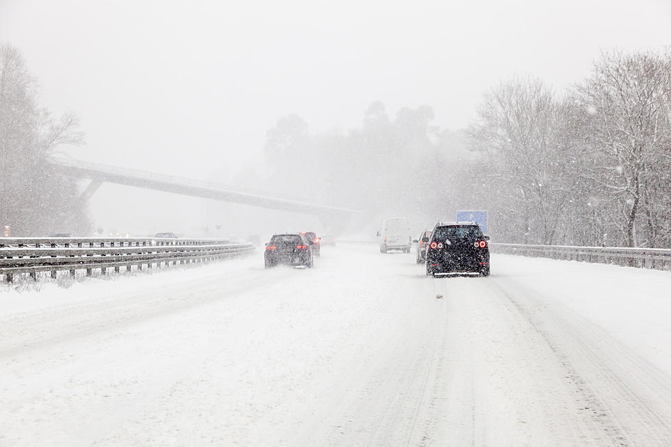
Snow is flying this morning in the Tri-Cities, coming as quite a surprise to some commuters.

How Much New Snow Will Washington State See In January 2024?
As we head into January in Washington State, the anticipated snow has started to fall, and the National Weather Service out of Pendleton Oregon has a new winter storm watch advisory in effect:


Here are the details posted by the NWS:
WINTER STORM WATCH IN EFFECT FROM LATE THURSDAY NIGHT THROUGH LATE SATURDAY NIGHT FOR KITTITAS VALLEY, YAKIMA VALLEY, LOWER COLUMBIA BASIN OF WASHINGTON, AND FOOTHILLS OF THE BLUE MOUNTAINS OF WASHINGTON
We'll see potential new total snow accumulations of 4 to 8 inches, the advisory is from late Thursday through late Saturday night.
If you live in these locations: Kittitas Valley, Yakima Valley, Lower Columbia Basin of Washington, and Foothills of the Blue Mountains of Washington, you could be affected.
The NWS is saying travel may become challenging, and hazardous conditions could affect both the morning and evening commutes. Exercise caution during this period.
As you can see, winter is here in Washington State so it's always best to be prepared.
Use our station mobile app to keep up to date with any breaking winter weather news.
20 Fun Bucket List Items to do During Winter in Washington State
Gallery Credit: Rik Mikals
5 Magical Winter Towns to Explore in Washington and Oregon That Aren't Leavenworth
Gallery Credit: Rik Mikals
More From 610 KONA


