Ecology To Conduct Drone Flights Over Peshastin Creek
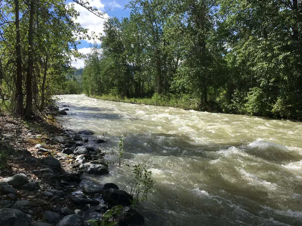
The Washington Department of Ecology (ECY) will be conducting drone flights over the Lower Peshastin Creek next week.
The flights are being performed in connection with the Washington Department of Fish and Wildlife (WDFW) as part of a restoration project and will primarily provide mapping of the area.
"We are going out with a drone to do some mapping before any construction at the site begins," says ECY GIS Analyst, Brad McMillan. "That way we can do some long-term monitoring of the site at pre-construction, during construction, and then after the construction as the site continues to develop."
The maps created from the drone's imaging scans will be similar to those found on Google Earth but with much higher resolution.

McMillan says the activity will take place in a fairly remote location and will not be visible to the public.
"The drone will be flying roughly twenty-five to fifty feet above the trees and doing a pre-programmed, autonomous mission where it flies a gridded path over the area of interest and takes photographs every few seconds."
The Lower Peshastin Creek project will include rehabilitation of the creek and its floodplain to improve rearing, holding, migration, and spawning habitat for steelhead, spring Chinook, and bull trout.
The project's primary piece will be the removal and realignment of a levee system that will place the creek closer to its original, naturally-intended course. The work will also include grading and lead remediation.
Cascade Fisheries is heading up the project and other partner agencies involved include the Washington State Recreation and Conservation Office, Upper Columbia Salmon Recovery Board, Washington State Department of Transportation, Bonneville Power Administration, and Chelan County Public Utility District.
The drone flights will take place on Wednesday, May 1.
Spirit of Boise Balloon Classic Nite Glow Surprise Drone Show
Gallery Credit: Nikki West
More From 610 KONA


