Flood Watch Followed By Possible Record Heat In Wenatchee
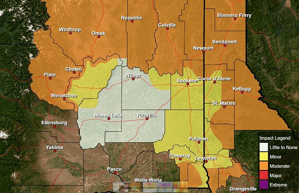
There's a Flood Watch for the Wenatchee area Tuesday, even though there's a relatively low 30 percent chance of rain. The watch is in effect between 10am-11pm.
Meteorologist Steve Van Horn with the National Weather Service says the atmosphere is conducive for the possibility of wet, slow-moving thunderstorms today.
“So, even though there’s only a 30 percent chance that there would be a thunderstorm over your location, if it does occur, then there’s the potential for very heavy rain with those storms., Van Horn said.
He says areas around steep slopes in North Central Washington will be the most susceptible to flooding.
Sloped areas with burn scars from wildfires could also see flooding if heavy rains occur.
And then by this weekend we could have record warm weather in the region.
Van Horn says the heat is coming from a weather pattern that’ll change by Monday.
“That’s just do to strong ridging of high pressure over us,” said Van Horn. “And that usually will bring us hot temperatures this time of year. And then it does look like that ridge will start to break down as we go early into next week. And we’ll start to see some relief from the heat.”
Friday’s record high of 88 in 1993 and Saturday’s record 89 degrees from 1963 could easily be broken under the current forecast which calls for the mid to upper 90’s on both days.
There looks to be relief from the heat by Monday when the high is forecast to only reach the upper 70’s.


